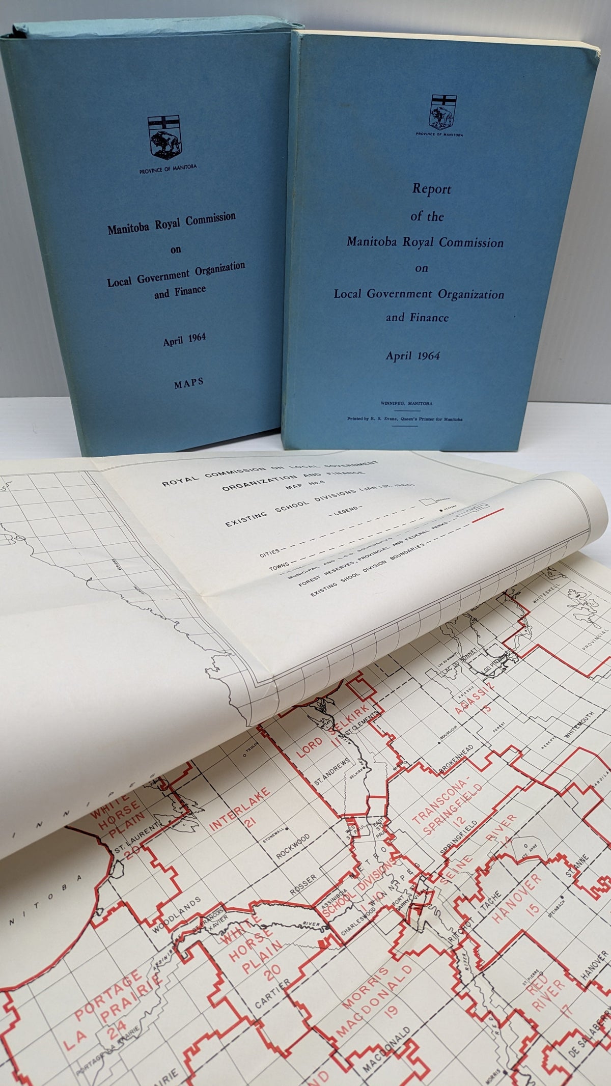
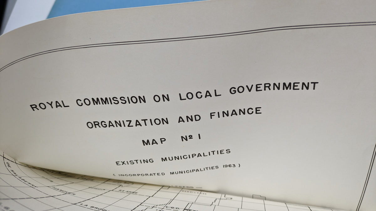
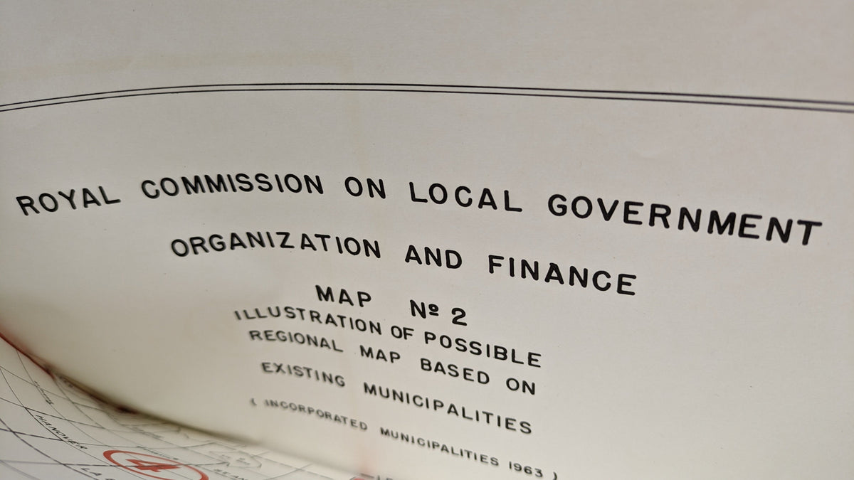
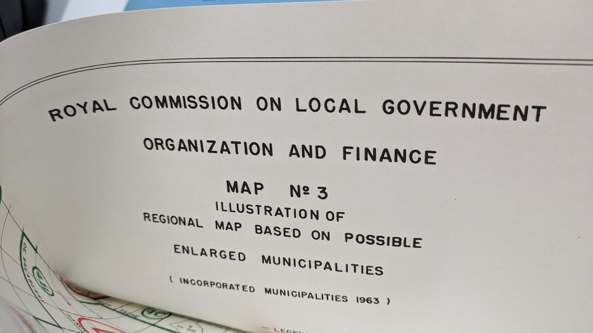
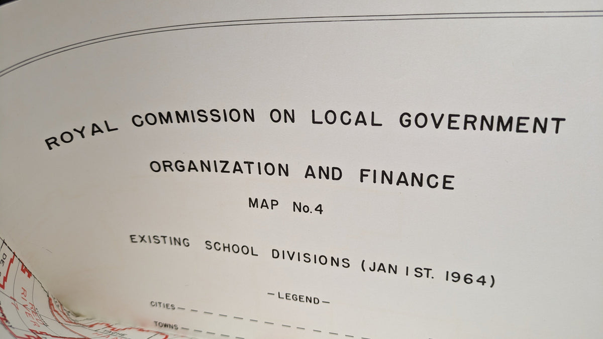
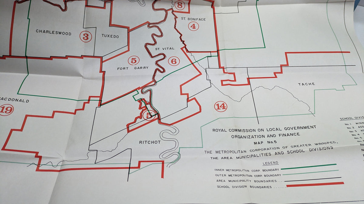
1964 Manitoba Royal Commission Maps — Complete Set of 4
A rare and historically significant set of four official maps produced in conjunction with Manitoba's Royal Commission proceedings of 1964. These maps offer a fascinating window into mid-century provincial planning, land use, and governance — an essential piece of Manitoba's documentary heritage.
Highlights
Complete set of 4 — all four maps present and accounted for
Issued as part of an official Royal Commission — government-provenance documents of record
Reflects Manitoba's geographic and administrative landscape as it stood in 1964
Ideal for historians, collectors of Canadians, and local heritage enthusiasts
Barcode: 5991897246671 | SKU: Cabinet 4 - 5
Condition
Vintage, circa 1964. Please refer to photos for current condition details.
A tangible piece of Manitoba's mid-century history — maps that shaped decisions, now ready to inform collections.